Verifying a Coordinate System using Google Earth
Updated October 18, 2017
This article applies to:
- Terrain 3D
- Terrain Forestry
- RoadEng Civil
- RoadEng Forestry
A quick and easy way to check that a file is correctly geo-referenced, is to export it to Google Earth. Google Earth is a free web based 3D mapping software (see www.google.com/earth for more information).
To complete the following steps, you will need to have Google Earth installed.
First, we will make sure you have a Google Earth export specification (KMZ); this depends on the Normal.iop file in your <Defaults and Layouts> folder.
Home | Web Mapping button.
Google Earth tab, select All Features.

Figure 1: Web Mapping Specifications
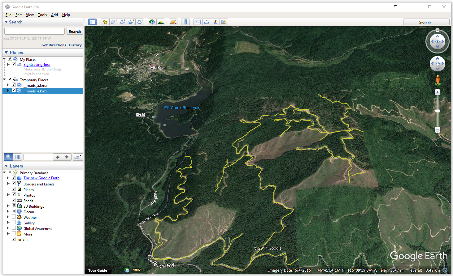
Press the Update Google Earth button – this will save a geo-referenced Google Earth file (.kmz).This also should run Google Earth and place your roads at the correct geographical position as shown in the figure below.

Figure 2: Google Earth Export
Close Google Earth.
Close the Web Mapping dialogue.
 File | New. Do not save the changes. Continue to the next example.