Back to Terrain Module
Creating a New Coordinate System
Updated May 08, 2025
This article applies to:
- Terrain 3D
- Terrain Forestry
- RoadEng Civil
- RoadEng Forestry
There are 2 ways to create a new coordinate system:
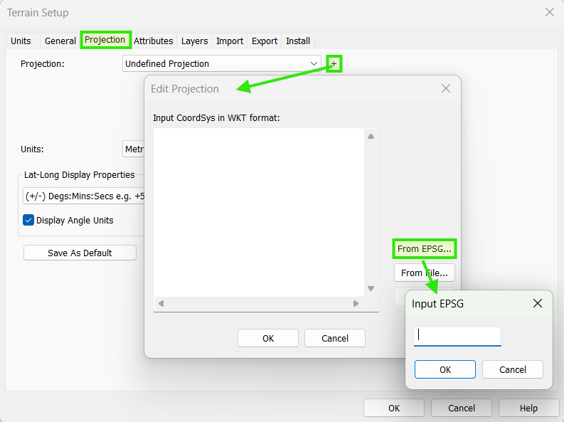
1) EPSG number
In menu Module | Setup | Projection, you can set the EPSG number of your coordinate system enter it (see image below).
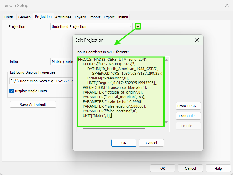
2) WKT String
In the same menu Module | Setup | Projection, you can set the WKT of your coordinate system enter it.
Both EPSG and WKT formats for your coordinate system should be available. If you don’t know them contact you map provider (Google can also be very helpful).