Absolute Coordinates
Updated October 17, 2017
This article applies to:
- Terrain 3D
- Terrain Forestry
- RoadEng Forestry
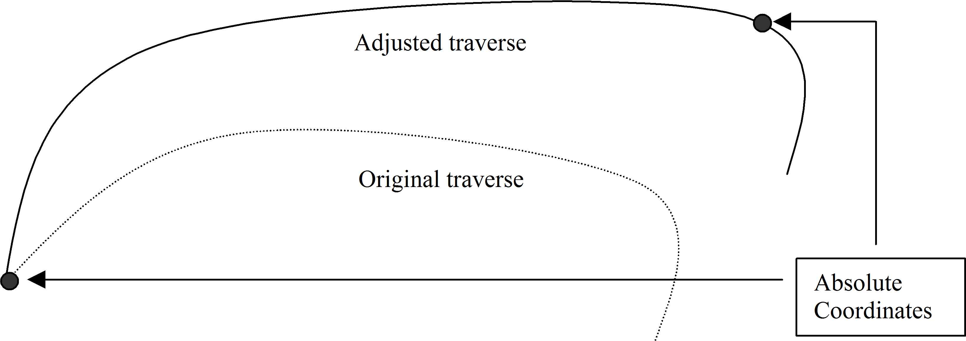
All traverses start from an absolute coordinate. By default, all other coordinates are calculated from this starting point. Arbitrarily, the value (0, 0, 100) is assigned for the X, Y, and Z coordinate of the first station. If these coordinates are changed the entire traverse is shifted (provided no other absolute coordinates have been set). Other coordinates within the traverse can be set absolute by using the Traverse | Set/Get XYZ Coordinates menu (Traverse Document), Traverse | Close Traverse menu (Traverse Document), or the Map/Coordinate Adjustment menu (Map Document). The traverse is stretched or shrunk, using the Compass Rule, to fit between two or more absolute coordinates, as shown in the figure below.

Figure 1: Adjusted Traverse and Original Traverse
Shifting, Joining, and Adjusting Traverses
Method 1 demonstrates how to make a coordinate adjustment in the Traverse Document. Method 2 shows how to modify traverses from the Map Document. In both cases the coordinate changes are saved with the Traverse Document. Raw field data (bearings, distances etc.) remain unchanged.