Controlling the Report Points
Updated May 03, 2024
This article applies to:
- RoadEng Civil
- RoadEng Forestry
In RoadEng, Report points are stations where the cross-sections are calculated.
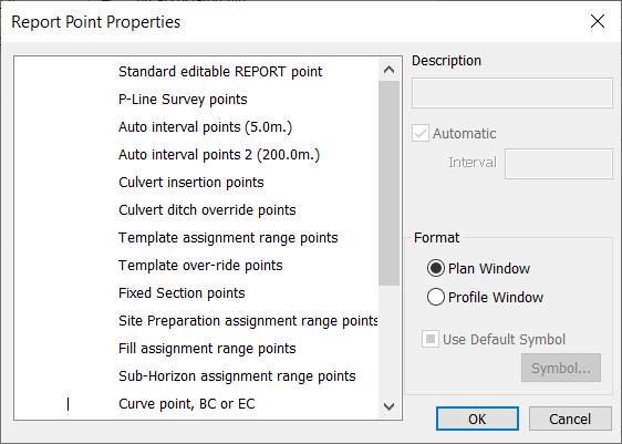
The dialog box below, allows you to define which report points are created and how they will be displayed in the Plan and Profile windows.

Figure 1. Report Points Properties dialog.
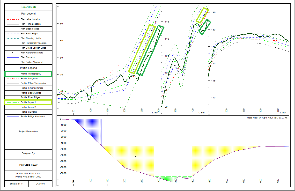
Some errors or inconsistences in the data may appear if you don't have enough cross sections (reporting points). The edge of road, ground layers and slope stakes are only defined at cross sections.
In the example below, we have a ground layer being displayed above the topo profile.

Figure 2: Ground layer displayed above topo in Multi-Plot Profile
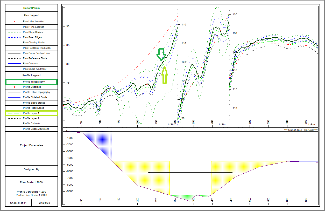
So, to fix this problem you can go into Corridor I Options I Report Points... Add Auto Interval points reporting points at a smaller spacing e.g. 10 m.

Figure 3: Profile Topography shown above ground layer correctly.
There are different ways to open the Report Points Properties dialog. You can either select:
- Corridor tab I Options I Report Points ...
- Right-click on Plan Window I Turn on Report Points checkbox I Left-click on the (+) button next to Report Points.
- Setup tab I Location Setup I Alignment tab I Report Point Properties...
Note: It is important to consider that although more Reporting Points increases accuracy, there is a point of diminishing return. Too many report points will slow the calculations down, making designing slower. Here professional criteria becomes relevant.
Please find more info in the Youtube video below.