Back to Location Module
Overlay 1 - Gravel (Beta)
Updated April 30, 2026
This article applies to:
- RoadEng Civil
- RoadEng Forestry
Overlay 1 - Gravel (Beta)
Up to three layers above subgrade with a separate layer to track fill above existing road.
Typical Cross Section
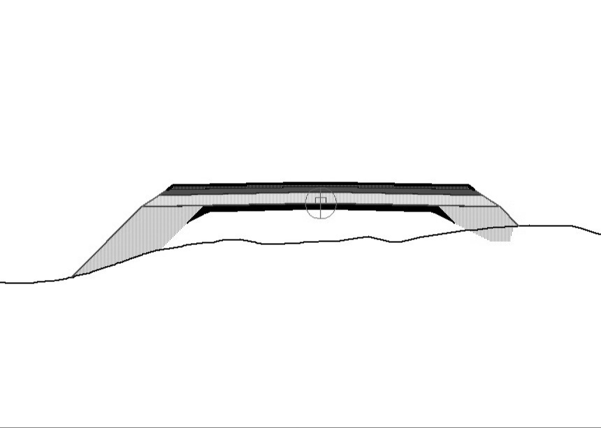
Parameters
| Width | Surfacing or lane width, for top layer. |
| ExistingRoadWidth | Horizontal offset for existing road extents. |
| Srf3Thick | Surface 3 thickness. |
| Srf3FillSlope | Surface 3 fill slope. |
| Srf2Thick | Surface 2 thickness. |
| Srf2FillSlope | Fill slope for surface 2. |
| Srf1Thick | Thickness of surface 1 layer. |
| Srf1FillSlope | Fill slope % of surface 1. |
| OverExistFillSlpe | Fill slope for material over existing road. Cannot be vertical. |
| bAlignAtTop | Set to 1 for profile defined at top surface. Set to 0 for profile at sub-grade. |
| DaylightDist | Daylight distance applied in cut situations to close horizontally to ground. |