Back to Location Module
Exporting Location Design to OBJ
Updated May 16, 2023
This article applies to:
- RoadEng Civil
- RoadEng Forestry
In order to export a Location design as a 3D surface to other programs, such as Navisworks, we need to follow a couple steps:
Export from Location as a Terrain file:
- File| Save As
- Select .terx from the format drop down
- Enter a file name, press Save
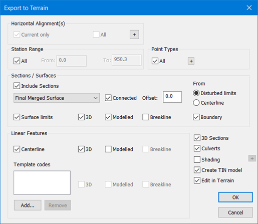
- Ensure the export to Terrain options dialogue is configured for the settings you want:

Save in Terrain to OBJ:
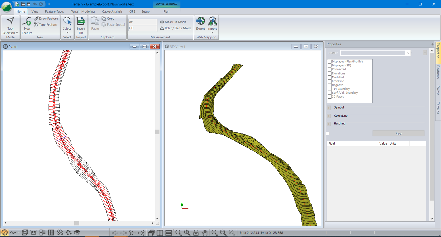
- With the "Edit in Terrain" option selected (see image above), the Terrain module will automatically open
- File | Save As
- Select .OBJ from the format drop down
- Enter a file name, press Save


Test Your OBJ in a New instance of Terrain:
- You can test your OBJ file in a new instance of Terrain
- Home | Insert File
- Browse to your obj file, press Open
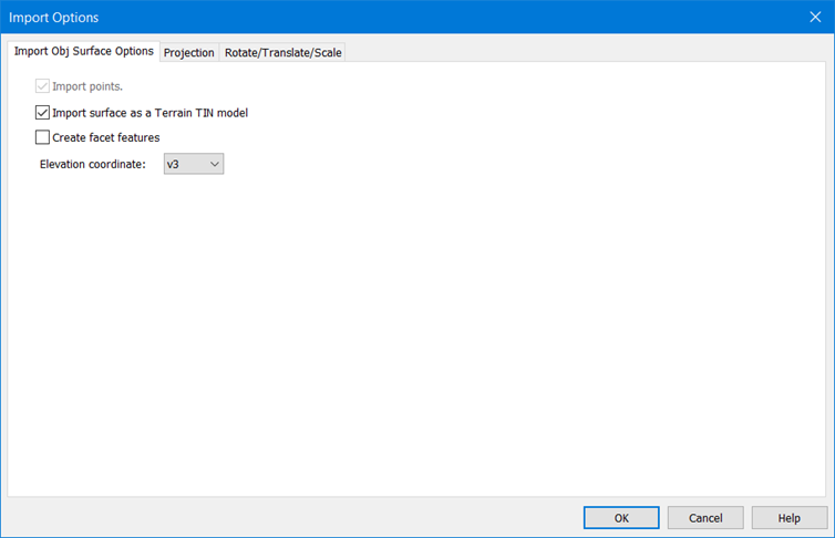
- Select v3 for the elevation coordinates and select "Import surface as a Terrain TIN model"

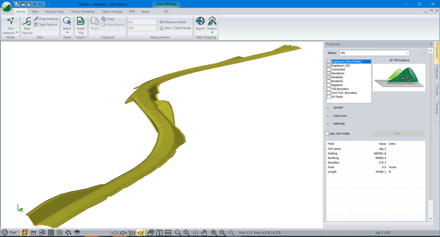
Your OBJ can be viewed in the 3D window:
