Export as a Zipped RoadEng project
Updated February 07, 2025
This article applies to:
- RoadEng Civil
- RoadEng Forestry
On certain occasions, you will need to share your design with a colleague, customer, or the support team. The best way to send a design without causing issues with lost references is by including all the files that are being referenced, such as the Topo file (.terx), design file (.dsnx), background images (.terx), and images in Multi-Plot. The most effective method is to export everything as a Zipped RoadEng project (.zip).
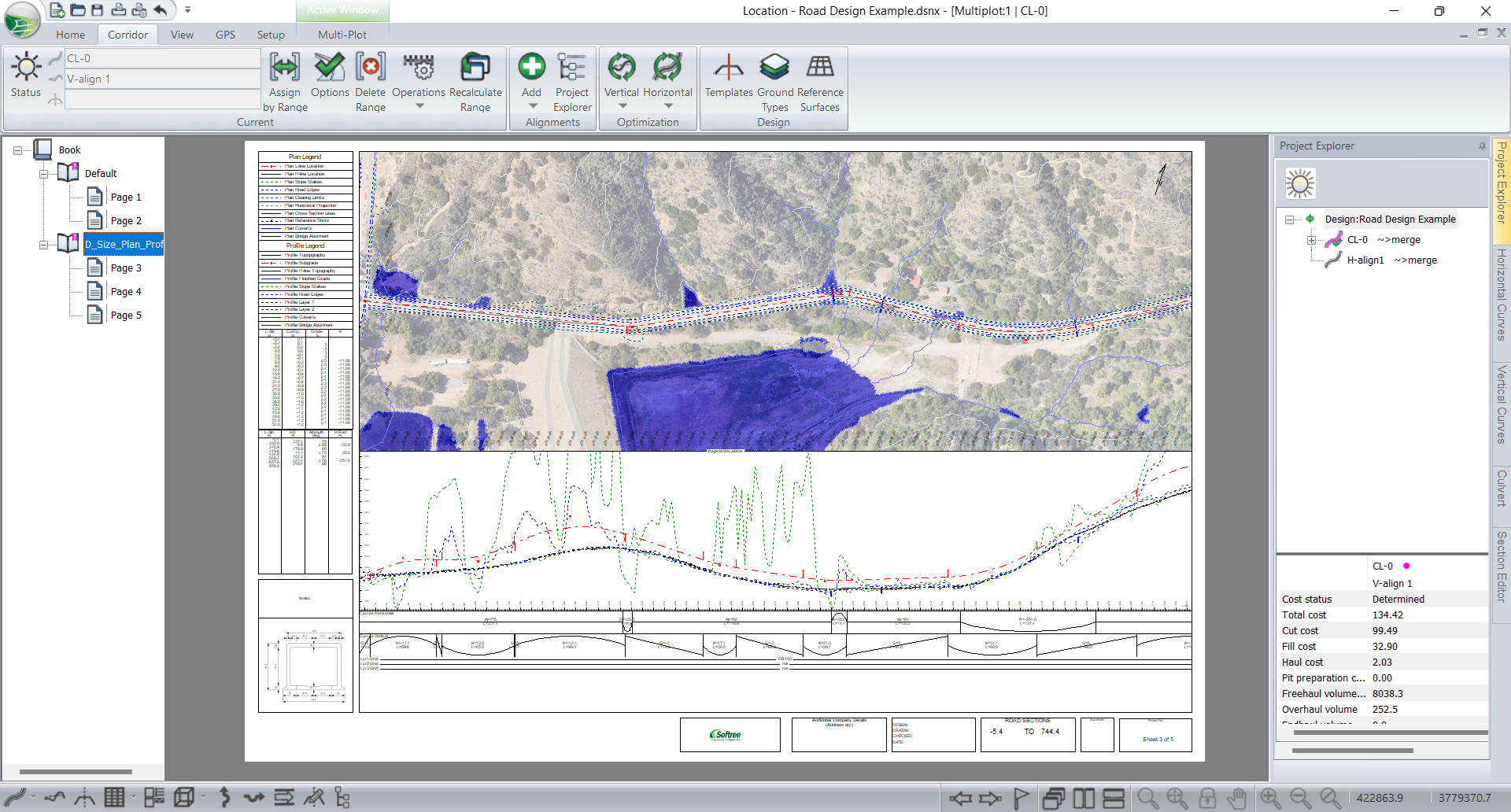
Figure 1: Road Design example in Multi-Plot with background image, construction specifications image and Company logo image
In order to export a Location design as a Zipped RoadEng project, we need to follow a couple steps:
Export from Location as a Zipped RoadEng Project file:
- File| Save As
- Select Zipped RoadEng Project.zip from the format drop-down list.
- Enter a file name, press Save
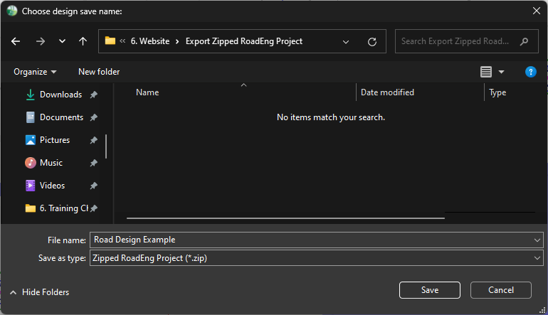
Figure 2: Save as type dialog
After following these steps, you will have a compressed folder as shown below.
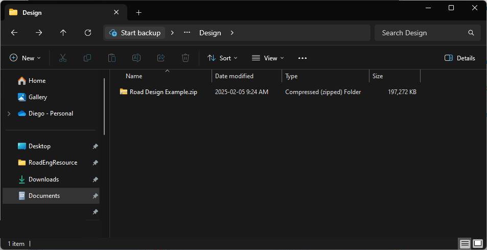
Figure 3: Compressed Folder
Inside of the Compressed (Zipped) Folder:
- If you receive a RoadEng zipped project file, you'll need to extract its content before being able to open it.
- Select the folder I Right-click on it I Extract All...
- This will create a folder where you'll find all the files referenced in the RoadEng Project.
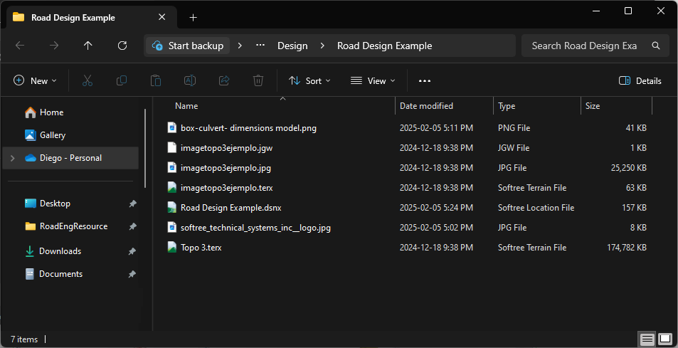
Figure 4: Files extracted from the Zipped RoadEng file
In the example above, the topography in .terx format, the design of location in .dsnx format, background files, construction detail images, and company logo images were saved and then successfully extracted into the desired folder.