Introduction
Updated October 19, 2017
This article applies to:
- Softree Optimal
This document describes methods for working with project data from external civil design packages such as Civil 3D®, Bentley civil products, 12d Model® and others.
Three types of data are required to automate the transfer of information between external design software packages and Softree civil products; Surfaces, Alignments, Cross Sections.
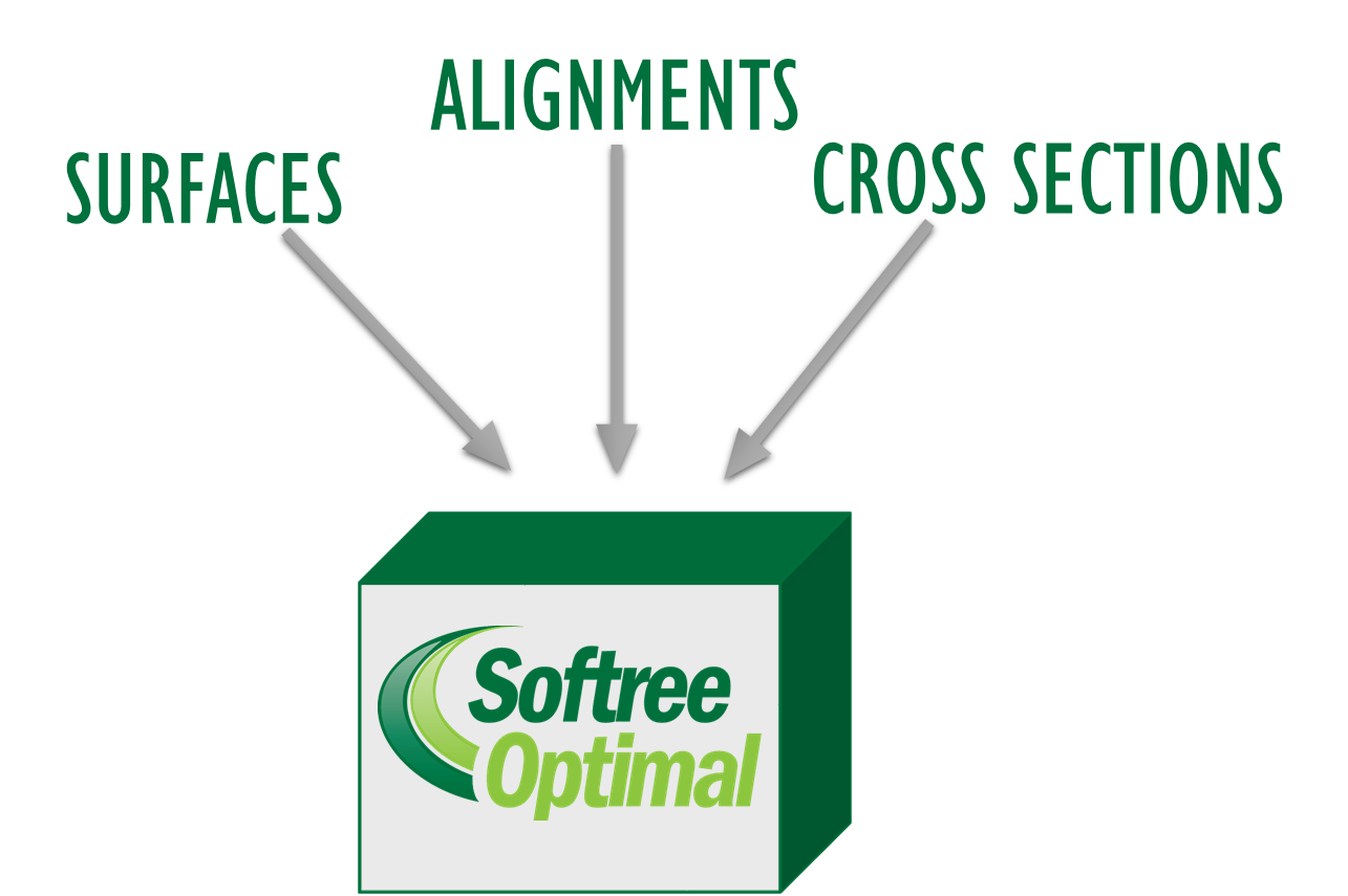
Figure 1: Location Setup Data
LandXML
LandXML is very useful for interfacing with other design software packages. LandXML specifies a non-proprietary file format for civil engineering design and survey measurement data. It is supported by all major design software vendors. More information on LandXML can be at http://www.landxml.org.
Surfaces
In Softree products, surfaces (TINs) are stored in Terrain files (*.ter). These surfaces can be created from a variety of formats including ASCII, LAS, DEM, DWG, DGN, and others.
LandXML TIN surfaces can be read directly into Softree Optimal (using menu File | New and selecting type Landxml). LandXML surfaces are very convenient because they can be directly transferred between design packages without having to create breaklines, boundaries and other surface creation issues.
Large Point Sets
Saving large point sets, such as those created by a LiDAR survey, in LandXML format is very inefficient. In this case, it is better to transfer the data in its original format such as LAS or ASCII. You will require access to the RoadEng Terrain module. Please speak to Softree for a license access and see Terrain documentation for more information on importing point data and creating surfaces.
Alignments
Landxml alignments contain the horizontal and vertical geometry. Landxml alignments can be read into Softree Optimal by choosing menu File | New and selecting Landxml from the New Design Start Coordinates dialog.
Cross Sections
Cross section information can be imported and extracted in 3 ways:
Variable Sections - CSX Format (Recommended Method):
The best method to transfer cross section information is using the *.CSX format. The CSX format captures the dynamic behaviour of the cross section (e.g. sub-assembly rules and logic). Using this format, it is possible to change the alignment position. When a change is made the cross section is adjusted to approximate the behaviour of the original cross section. See Appendix 2 for more information on the CSX format.
At the present time, the CSX Format is only available to Civil 3D and 12d model users. For more information about the Civil 3D interface, see Chapter Civil 3D Export Corridor Plug-in.
Fixed Sections - LandXML Cross Section Format:
Fixed sections can be created in Softree Optimal from LandXML:CrossSectSurf and LandXML:DesignCrossSectSurf elements.Fixed Sections - LandXML Surface Format:
Fixed sections can be created in Location from LandXML: surfaces.

Figure 2: Softree Optimal File Inputs and Optional Terrain Import Options